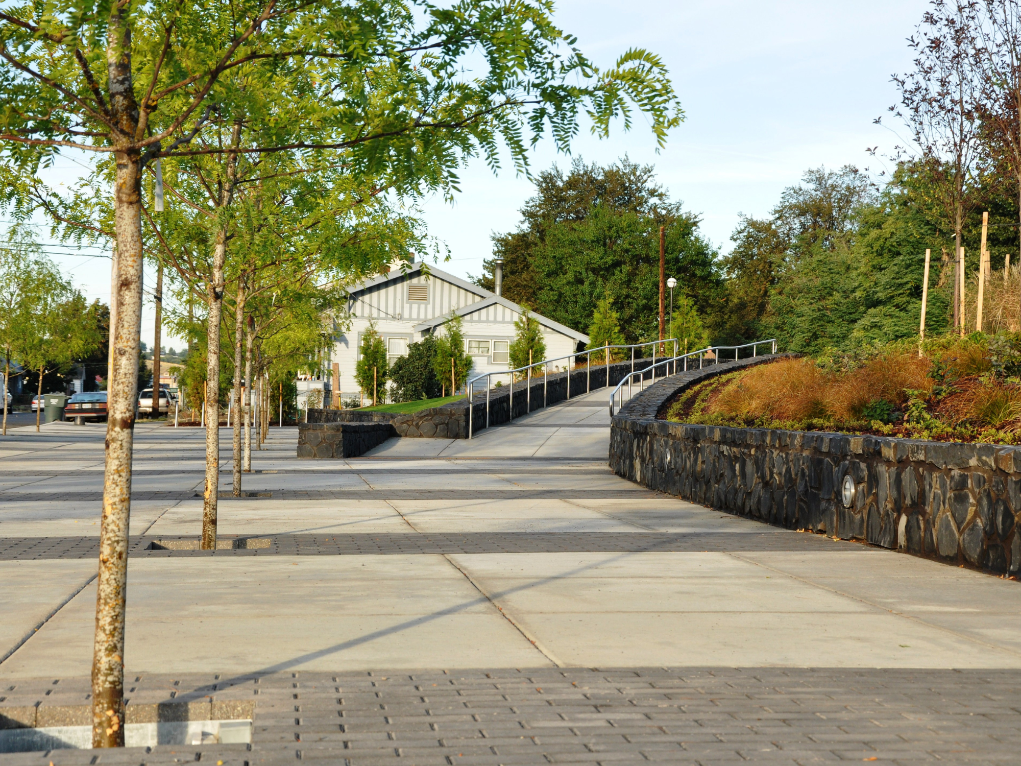
Travel to Pendleton
Getting to & staying in Pendleton has never been easier. With over 1,000 hotel rooms to choose from & flights between Pendleton & Portland 3 times a day, Pendleton has whatever you need to make your trip as carefree as possible.
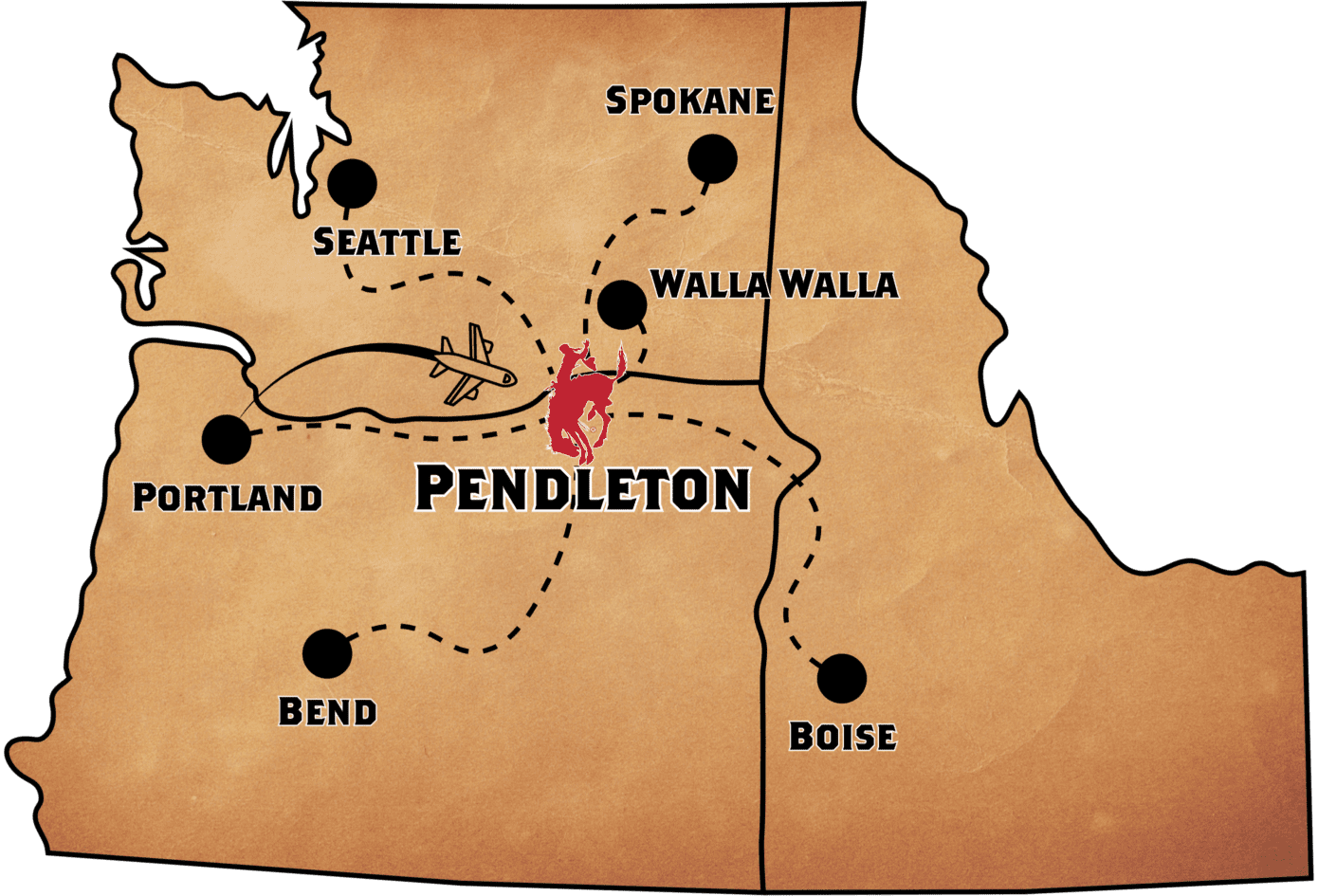
Pendleton, Oregon Is Centrally Located:
- Walla Walla 42 miles 1 hour
- Portland 208 miles 3¼ hours
- Spokane 201 miles 3¼ hours
- Boise 237 miles 3½ hours
- Bend 264 miles 4 ¼ hours
- Seattle 303 miles 4½ hours
Tried & True Plans
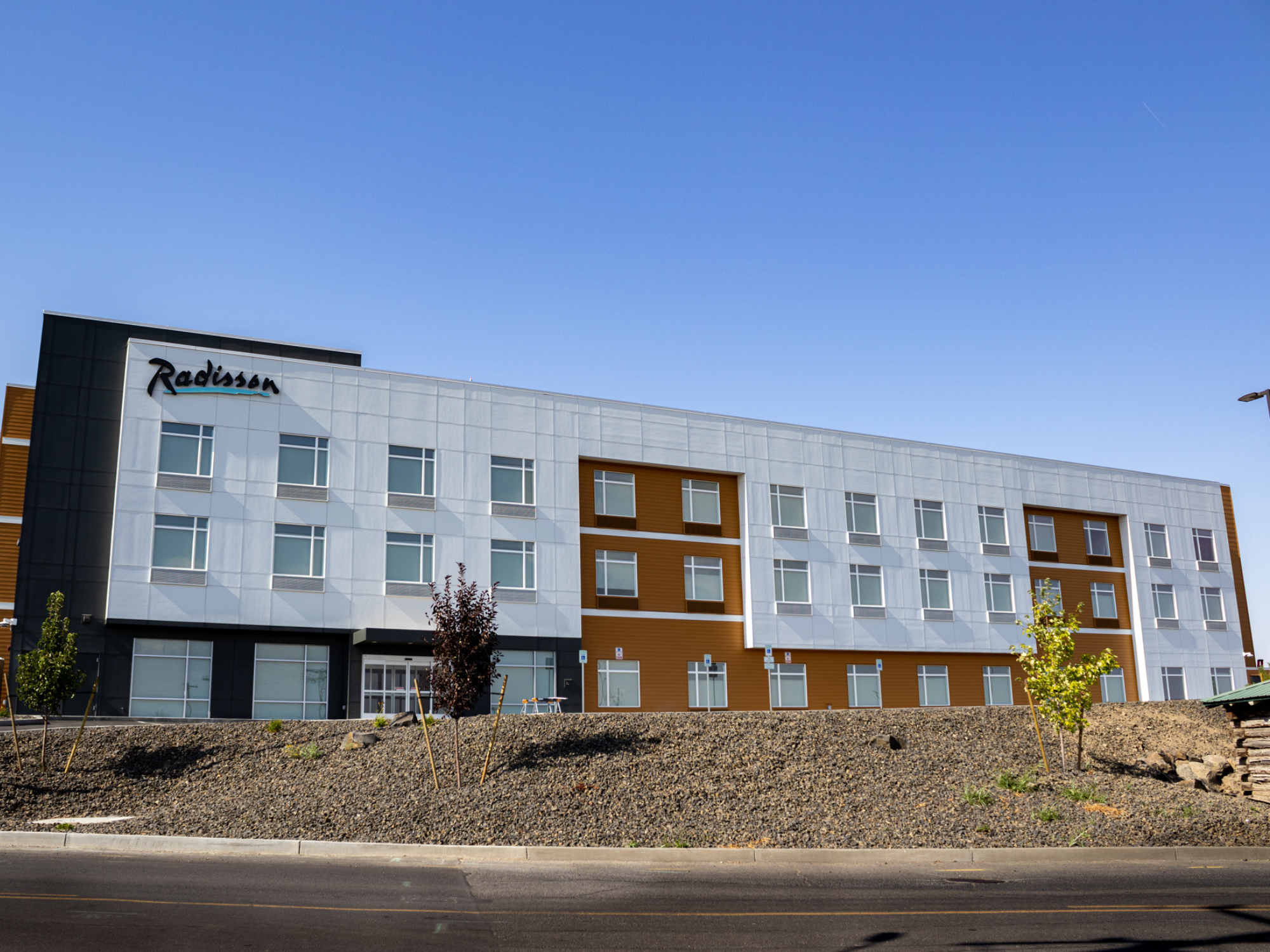
Radisson Hotel Pendleton Airport
Convenient Stay
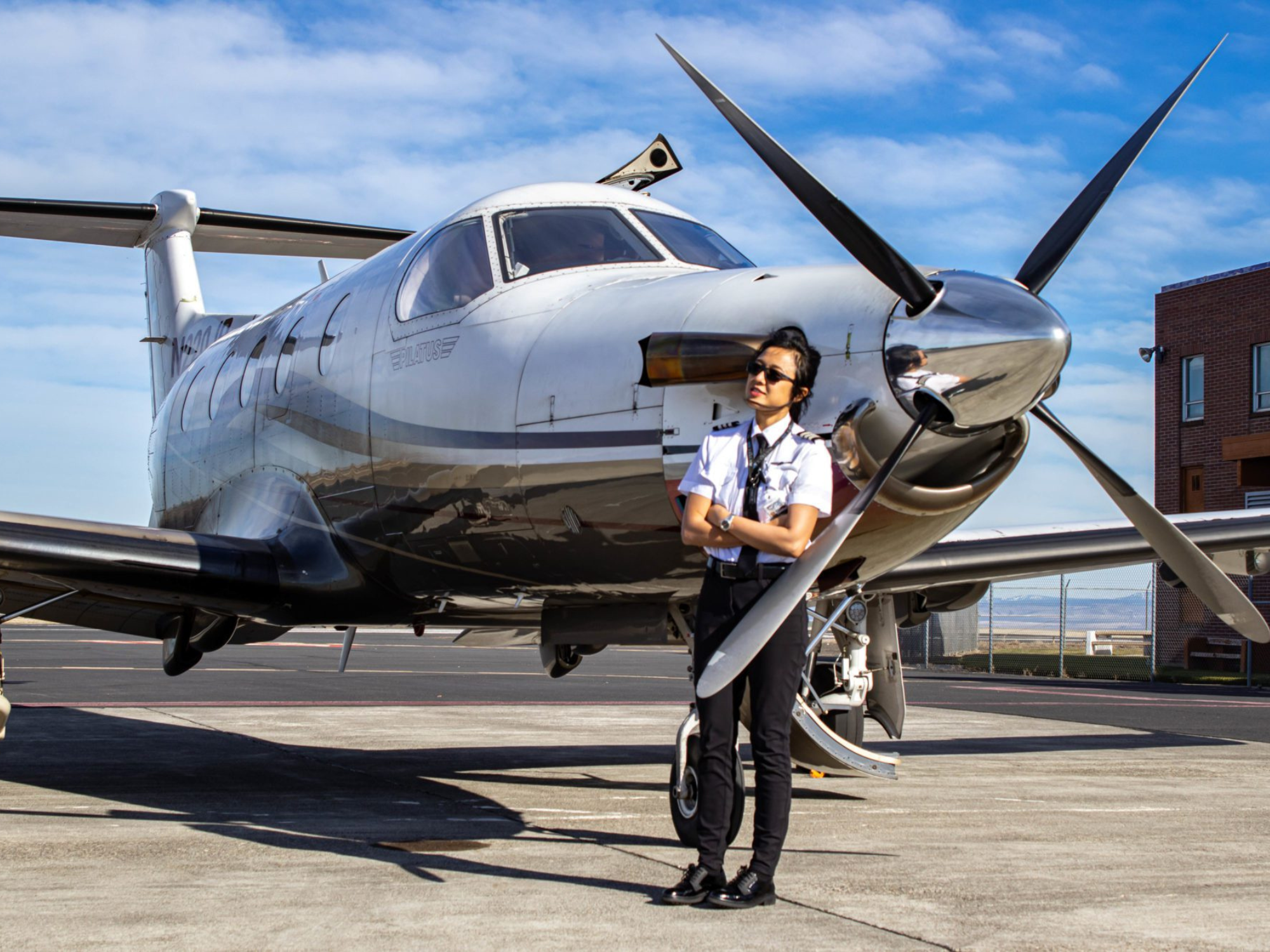
Boutique Air
Luxury Travel
Staying in Pendleton, Oregon:
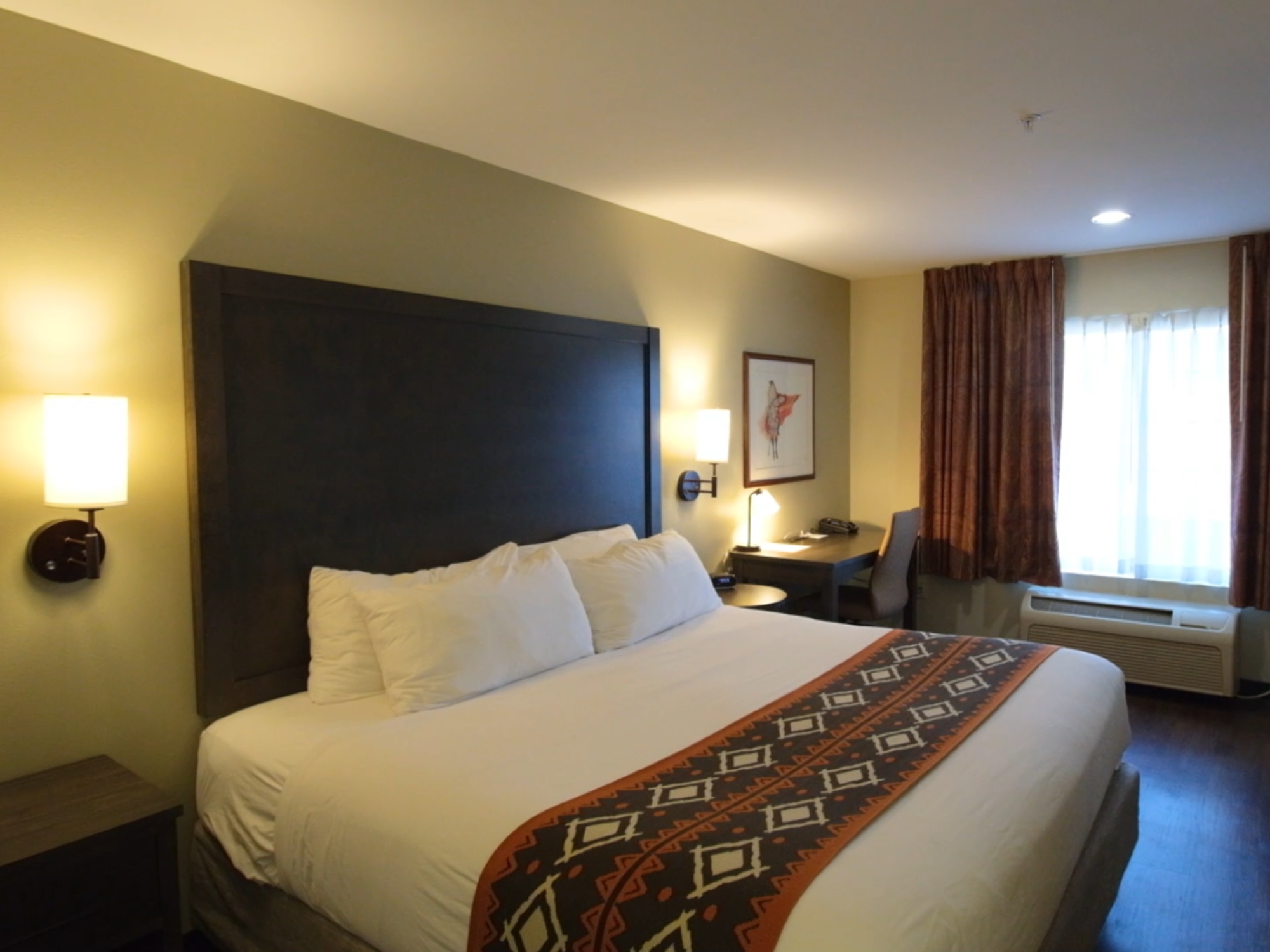
Staying in Pendleton means immersing yourself in a destination where comfort & adventure intertwine. Whether you’re seeking a glimpse of the past, a taste of luxury, or an authentic Western experience, Pendleton’s diverse lodging options ensure that your stay is as memorable as the town itself. So, settle in & embrace the unique blend of history, culture, & nature that makes Pendleton, Oregon, a truly special place to call home during your visit.
Transportation Options:
Pendleton offers offers a variety of transportation options to help you navigate the town, explore nearby attractions, & enjoy the surrounding landscapes. Whether you’re arriving by air, looking for local transportation, or planning to venture into the great outdoors, Pendleton has you covered.
Weather/Roads:
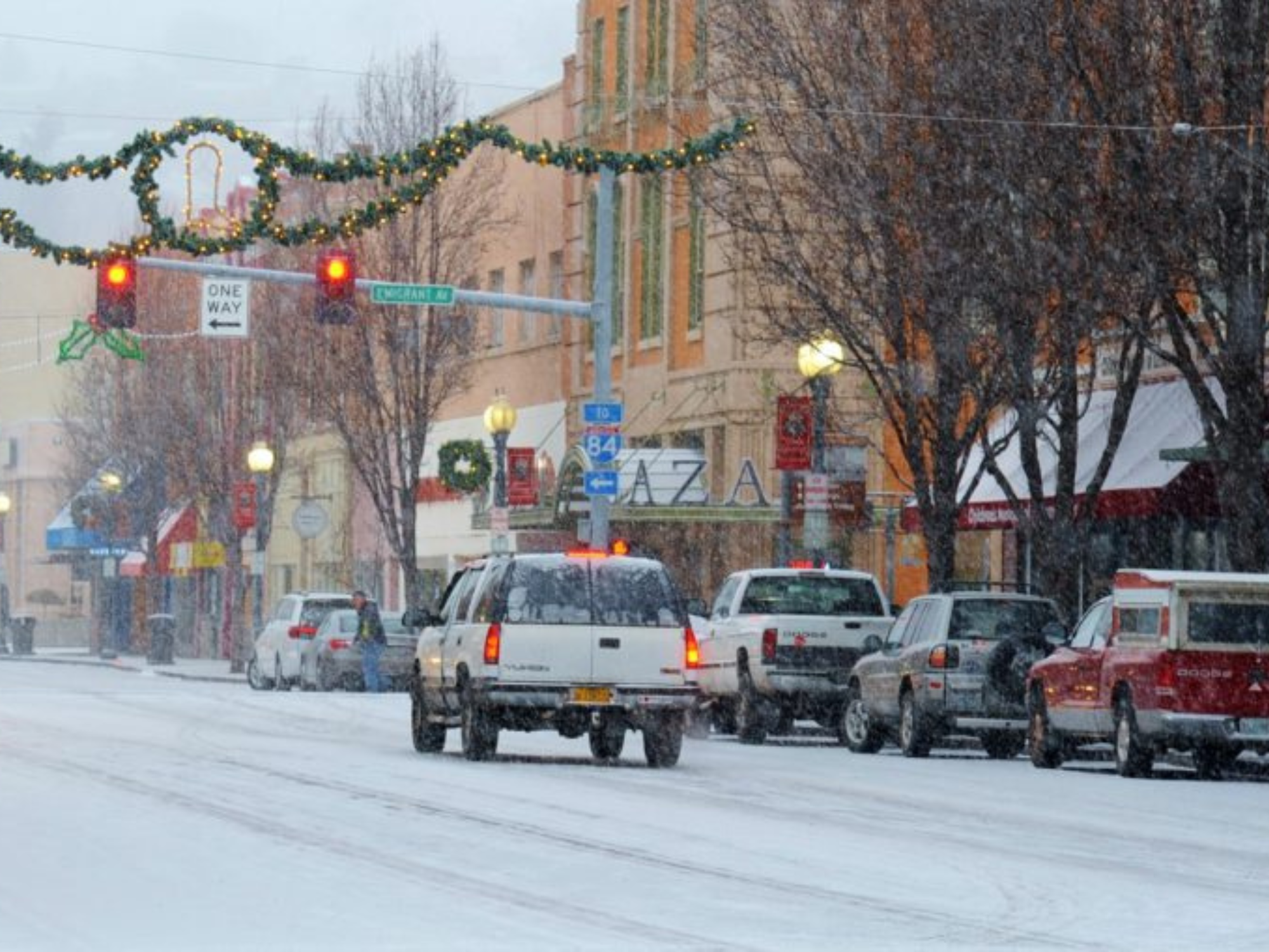
Pendleton experiences a high desert climate with four distinct seasons. Pendleton’s road conditions vary throughout the year due to weather conditions, particularly during the winter months. Remember that weather & road conditions can change rapidly, so staying informed & prepared is key when traveling in & around Pendleton, especially during the winter months.
Accessible Travel:
Pendleton welcomes travelers of all abilities & strives to provide an inclusive environment that allows everyone to fully enjoy their visit. Whether you’re exploring the town’s historic sites, savoring local cuisine, or immersing yourself in its natural beauty, Pendleton invites you to embark on a journey that caters to your unique needs & preferences.
Plan Your Stay

Plan Your Transportation
Plan For Weather & Roads
